Many people think Google Maps is only used to view recent images from all over the world.
However, believe it or not, you can see old photos using a feature available in Street View.
So, if you are here because you want to know what your city or street looked like years ago, and you are wondering how to see old photos of my street, then keep reading and I’ll show you how!
Super easy! Google Maps has a very useful and even fun feature called Street ViewWith it, you can get an urban perspective of countless places around the world without even leaving home.

However, over time, things naturally change and the images are updated.
Interestingly, even after these updates are made, Maps can still keep old photos of places in the system.
Lucky us! This way, we can access them and take a little trip into the past to see what things used to look like. Just be careful with the nostalgia!
Ready to go back in time? I admit I’m also curious to see old photos of my street! So, come along while I guide you on this journey into the past.
Learn how to use Street View on Google Maps
Street View is one of Google Maps’ most popular features. It allows you to explore landmarks, natural wonders, and even take a detailed look at museums, stadiums, restaurants, and much more.
To view Street View photos, you can search for a place, drop a pin, click a marker, or simply use the Street View layer. The last option is the easiest, so let me briefly explain how you can use it.
- Open the Google Maps app.
- Search for the place you want to see.
- Tap “Layers” at the top of the screen (white circle in the corner).
- Select “Street View.”
- The blue lines on the map indicate Street View coverage. Tap them to enter this feature.
Steps to use Maps to view photos on your phone
Just like on your computer, you can view old photos available on Maps using your mobile device. Here, you can see how your neighborhood has changed over the years.
Remember: historical images may not be available for every location. Here’s how:
1- Tap “Layers.”
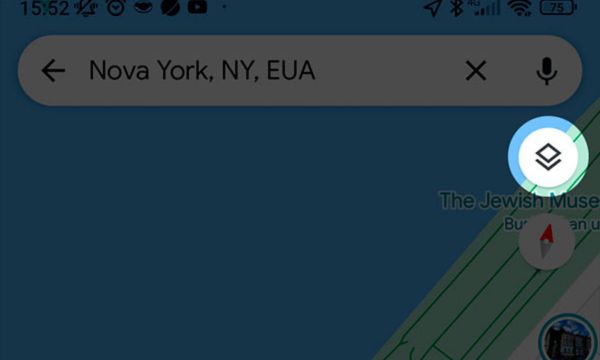
2- Select “Street View” and tap the “X” to exit.
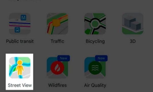
3- Click any blue line.
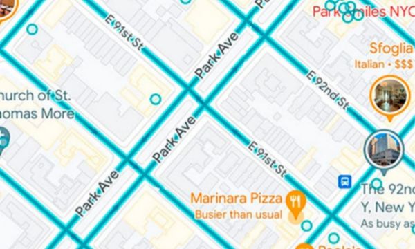
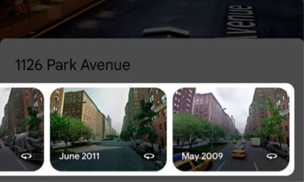
4- Then tap the “See more dates” link. Not every place on Google Maps has this link.
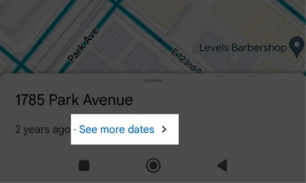
5- At the bottom of the screen, select an image from the carousel.
Steps to use Maps to view photos on your computer
Now that you know how to make the most of Street View, you are probably wondering how to see old photos of my street. Let’s get straight to the point. Follow these steps to view the photos on your computer:
- In your computer’s browser, go to google.com/maps.
- Click the search bar and type the name of the place you want to find.
- Then drag and drop our friend, the little person icon, onto the address.
- As soon as Street View is activated, click the clock icon in the upper-left corner.
- Slide the bar to view the available old images of the place.
Conclusion
It is possible to find several records dating back to 2007, although some places have more dates available than others.
Likewise, image quality may be lower in some cases due to the limitations of the cameras at the time, which can make it a little harder to see all the details. Keep that in mind.
However, that does not stop us from enjoying a brief trip into the past. Follow the steps and get started right now!